Historic Records Register (HRR)
Environment Canterbury has a large collection of historical records from around the region. The records include oblique and aerial photographs, farm plans, river and drainage classification, land survey data and building and structure plans. Each document is marked by a point or area to indicate the location that the record refers. Examples of each are shown below.
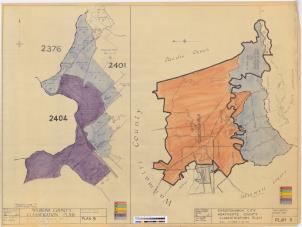
Note that the records have been mapped to varying degrees of accuracy and the markers may therefore not represent the exact location. The point layer suggests a higher level of confidence in locating the document, than the area features.
